Surrey Hills is a residential suburb approximately 11–12 km east of Melbourne’s CBD, straddling the Cities of Boroondara and Whitehorse. It is bounded by Whitehorse Road to the north, Elgar Road to the east, Riversdale Road to the south, and Highfield Road to the west — sitting neatly between Canterbury to the south-west, Mont Albert to the north and Box Hill to the east. The suburb recorded a population of 13,655 at the 2021 census, with a median age of 42 and a median weekly household income of $2,503 — one of the higher figures among Melbourne’s eastern suburbs, reflecting its long-established reputation as a desirable, family-oriented neighbourhood.
Begin your Surrey Hills trip the right way with Elite Taxis, Melbourne’s trusted choice for transport to and from Surrey Hills providing a safe, comfortable, prompt premium car service, so you can relax and focus on your journey. Book a luxury taxi ride today for a smooth, stress-free travel experience.
History
The land was acquired from the Crown by Henry Elgar as part of his Special Survey purchase in 1841, encompassing more than 5,000 acres across the parishes of Boroondara and Nunawading. It was broken up for farming between the 1850s and 1870s, and remained largely rural until the railway line was extended from Camberwell east toward Lilydale in 1882–83. That extension triggered the first land boom. The name ‘Surrey Hills’ was reputedly coined in 1878 by real estate agent and councillor John Hanlon Knipe (1828–95), who named his ~30-acre subdivision south of Mont Albert Road after Surrey County in England — a choice that would give the suburb and several of its streets a distinctly English topographical identity. By 1892 most of the land in Surrey Hills had been subdivided for housing, a primary school had opened in 1886, and the population stood at around 352.
Housing constructed in this first boom period was characteristically Victorian, Federation and Edwardian in style — brick and weatherboard villas on generous allotments, with streets planted with avenues of Pin Oak and Plane trees that now stand fully mature and give the suburb its most enduring visual quality. The streets themselves carry that English character deep into the suburb’s bones: Empress, Windsor, Balmoral, Leopold, Kingston and Wolseley Roads running through the residential grid, and a pocket between Canterbury and Riversdale Roads where the streets are named after English counties — Norfolk, Durham, Kent, Middlesex, Essex and Suffolk — known locally as the English Counties District. A companion precinct between Canterbury, Union, Mont Albert and Chatham Roads, the Chatham Precinct, carries names like Croydon, Guildford and Surrey, and Sir Garnet Road, named for Field Marshal Garnet Wolseley.
The 1890s depression stalled development and most land in Surrey Hills remained undeveloped until after 1914, when construction resumed and accelerated through the interwar period. The State Savings Bank financed many homes during this period, and from September 1915 ten of the earliest war service homes constructed in Victoria were built in Surrey Hills. After World War II the suburb solidified as a dormitory community for Melbourne workers, retaining the heritage character established in the 1920s while attracting renovators and new families in the latter decades of the 20th century. A 1980 report in The Age described this shift as the ‘changing face of Surrey Hills’. In 2023 the Level Crossing Removal Project lowered the Belgrave/Lilydale rail line through the suburb, replacing the former Surrey Hills and Mont Albert stations with the new Union Station and delivering over 9,400 sqm of new and upgraded public open space around the Union Road precinct.
Inner Eastern Melbourne · City of Boroondara & City of Whitehorse
Surrey Hills
Points of Interest
Map data © OpenStreetMap contributors
Things To Do
Surrey Gardens
Surrey Gardens at 88 Union Road is the suburb’s most historically layered public space — a heritage-listed hilltop park established in 1917 on land purchased by the Shire of Boroondara in 1903, with the garden layout prepared with input from William Guilfoyle, the landscape architect who also designed the Royal Botanic Gardens Victoria. The park’s eastern edge holds the Shrine, one of Australia’s earliest World War I memorials, dedicated in 1918 before the war’s end at the initiative of local Patriotic League president Mrs C.H.D. Steele. The carved timber honour roll and terracotta-tiled memorial structure were provided free of charge by local craftsmen. Flanking the Shrine are two c.1843 cannons — known as ‘Brooks’ Babies’, purchased in 1901 to mark the end of the Boer War and relocated here from Canterbury Sports Ground in 1919. A rebuilt rotunda (completed 2021, replacing the original 1921 structure) anchors the western garden area, and a Gallipoli Oak grown from acorns collected at the Gallipoli battlefield was planted on ANZAC Day 2015. The park is the focus of the suburb’s annual dawn service.
Union Road Village
Surrey Hills’ commercial life is concentrated along a compact but lively 300-metre strip of Union Road that functions as a genuine village centre — the kind that Melbourne’s inner eastern suburbs do particularly well. The strip is anchored by a Coles Local supermarket and lined with over 75 specialty retailers, independent cafés, restaurants, organic food stores, boutiques and service businesses. The café culture is strong and well-established, with several places that have earned loyal local followings over many years. The 2023 Union Station precinct redevelopment significantly enhanced the pedestrian experience around the strip, delivering a new civic plaza with tiered seating, terrace gardens and expanded outdoor dining on a widened bridge deck over the lowered rail corridor — connecting the train platform directly into the village street level.
Surrey Hills Neighbourhood Centre
Founded in 1978 at 157 Union Road, the Surrey Hills Neighbourhood Centre is one of the suburb’s most important institutions — a community hub operating from a light-filled octagonal room and adjoining outdoor space, leased from the City of Boroondara. It runs courses and workshops in cooking, art, fitness, languages and wellbeing; hosts social activities, children’s programs and volunteer opportunities; and functions as a general gathering point for the community across all ages and demographics. Each November it is the host venue for the annual Surrey Hills Music Festival — a free, family-friendly event that has run for over a dozen years, drawing around 2,000 people to Union Road for live music performances, food stalls, a licensed bar and community market. It is one of the most popular and characterful local events in Melbourne’s inner eastern suburbs.
South Surrey Park
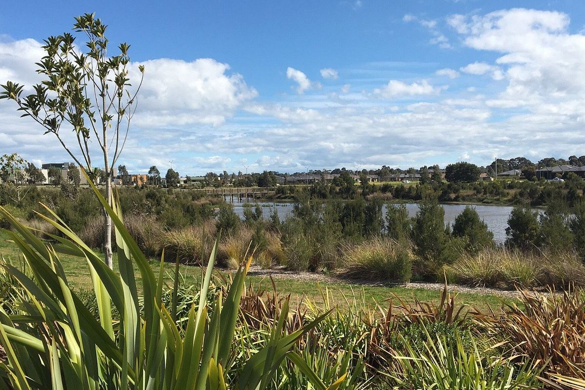
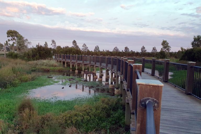
At the southern end of the suburb where Union Road meets Riversdale Road, South Surrey Park is a native bushland restoration reserve that provides a meaningful green transition between the residential streets of Surrey Hills and the broader open space corridor extending south into Wattle Park. Walking paths wind through revegetated native grasses, shrubs and trees; the reserve sits on a gentle slope that gives it some topographic interest. It forms part of a connected green corridor linking north through the suburb and south across Riversdale Road into Wattle Park — a rarer kind of ecological continuity in an otherwise densely built inner-suburban context.
Canterbury Sports Ground
In the north-west of the suburb at Croydon Road, Canterbury Sports Ground has served as the community sports anchor for Surrey Hills and the immediate surrounds for generations. It is the home ground of the Canterbury Cobras — a long-standing club in the Victorian Amateur Football Association — as well as the Canterbury Cricket Club, which plays on a turf wicket in the Eastern Cricket Association, and the Canterbury Tennis Club, with four en-tout-cas courts and its own clubhouse. The ground is a pleasant place to watch suburban sport on a weekend, with a children’s playground, mature tree canopy, seating and a walking track around the perimeter.
Wattle Park
Just across Riversdale Road from Surrey Hills in Burwood, Wattle Park is a Parks Victoria reserve that opened in 1917 as an excursion destination for Melbourne’s tram network — passengers would ride out from the city to spend a Sunday afternoon in the bush. Named after Australia’s national floral emblem, the park was planted with 12,000 wattle trees and retains a beautifully forested character that feels removed from its suburban surroundings. A 3.25 km walking and running circuit threads through the bushland, past a Lone Pine memorial (1933, grown from seed taken from the original Gallipoli tree), a heritage Chalet built in 1928 from repurposed cable tram materials, a nature-themed children’s playground and BBQ facilities. The adjoining Wattle Park Public Golf Course occupies the open ground to the east.
Why Use Elite Taxis?
Our Luxury Fleet
Our luxury cars are meticulously maintained to ensure the utmost comfort, safety, and style.
Our Professional Chauffeurs
Our skilled, experienced, courteous drivers are trained to anticipate and fulfil all your travel needs.
Our Personalised Service
We live to create a seamless personalised travel experience, whether for business or pleasure, tailored to your preferences.
Our Reliability
We get you there. Our vehicles are reliable, and our drivers prompt and efficient.

Click to view our Elite Taxis Melbourne Google Profile & Map.
Or post a review.
Service Areas
The Premiere Melbourne Taxi Service offering Luxury Travel with Premium Comfort and Style, and trained and attentive drivers in obsessively well-maintained vehicles providing you with an Unforgettable Journey.
We cover all of Melbourne, however these are the most frequented service areas:
